EarthObserver
iOS Universel / Education
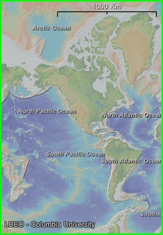
Explore your planet as never before with the mobility of EarthObserver. Use your fingertips to travel through terrestrial landscapes and across the ocean floor. Visit frozen icecaps, study geological maps, scout mountains to climb and trips on coastal waters and exploit a rich atlas of other earth and environmental imagery.
EarthObserver brings to you the latest compilation of detailed ocean floor relief gathered by oceanographic research ships using modern swath mapping technologies, combined with land elevations from satellite stereo imagery.
Features:
- World, North Polar, and South Polar views
- Zoomable interface from global scale to street and harbor scale
- Maps draped over topography with adjustable transparency
- Tap any map for its digital or text values
- The elevation anywhere - right at your finger tip
- Geographic names for land and ocean features
- Further educational content including data sources and suggested readings
- Data streamed to your device via Wi-Fi or 3G network
- Content cached locally after delivery so you can view it offline
- Instructions and Frequently Asked Questions
Content:
- Basemap (computer-generated color-shaded relief of land and ocean floor)
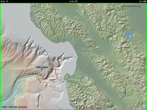
- US Coastal Bathymetry (with color palette appropriate to provide details of bays, sounds, estuaries, harbors and rivers)
- US Nautical Charts (paper raster and digital electronic at all scales for Atlantic, Pacific, Gulf of Mexico, Bering Sea, Arctic and Great Lakes)
- US Topographic Sheets (entire USGS collection for US mainland, Alaska, Hawaii and Puerto Rico)
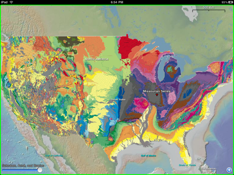
- Geologic Maps (entire world, by continent, by country and by US state showing formation ages, names and rock types)
- Geophysical Maps (global earthquakes, tectonic plates and boundaries, gravity anomalies, geoid height, magnetic anomalies and the configuration of world stress)
- Land Surface (temperatures day and night, primary productivity, vegetation index, land cover classifications and diversity, forest cover types and fragmentation)
- NASA Visible Earth (global earth scenes for each month)
- Ocean Floor (crustal age, sediment types, sediment thickness, seabed heatflow, seafloor true color, seafloor spreading rates, manganese nodules)
- Ocean Surface (temperature, salinity, primary productivity, temperature during prior ice age)
- Human Impact (area per person, human footprint index, population density (2010), infant mortality rate, underweight children)
- Hydrology (river drainage basin outlines, drainage networks, river flow accumulation)
- Natural Hazards (cyclones, drought, earthquakes, floods, landslides, tornadoes, volcanic eruptions)
- Atmosphere and Clouds (aerosols, carbon monoxide, cloud fraction, cloud optical thickness, cloud particle radius, cloud reflectance, cloud water content, radiation, solar insolation)
- Snow, Ice and Water (ice cover, permafrost cover, snow cover, snow-water equivalent, water leaving radiance, water vapor)
- Shorelines and Political Boundaries (countries, provinces, states, maritime)
Developed by Lamont-Doherty Earth Observatory (Columbia University)
Columbia University continually seeks to advance the frontiers of knowledge and address the complex global issues of our time.
Quoi de neuf dans la dernière version ?
Added volcanic information and more in-depth seismic/earthquake data