World History Maps: Ancient
iOS Universel / Education
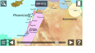
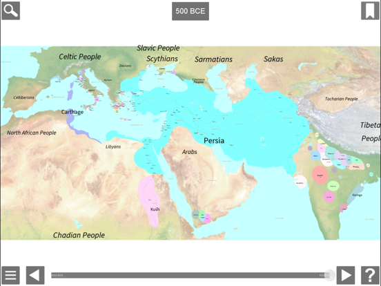
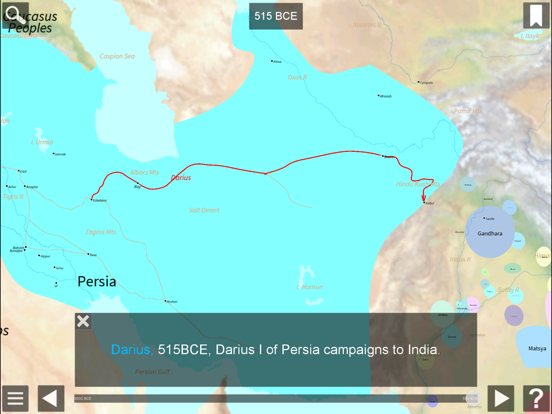
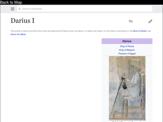
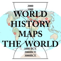
This interactive atlas of the ancient western world gives you a close up view of the area from the Mediterranean to India from 3000 BCE to 500 BCE. The map allows zooming and panning. Pop-up information is available for each country shown. Each map shows all countries of the world as they were at the beginning of each year. View cities, battles, campaigns, ancient roads, and more. Links to Wikipedia articles provide more detail. Zoom in without losing any detail.
En voir plus...
Quoi de neuf dans la dernière version ?
Now displays full screen on all iOS devices.
Updated and improved settings dialog.
Time slider can be on the side of the screen - works better for newer ios devices.
Bug fixes.