StepMeasure
iPhone / Forme et santé
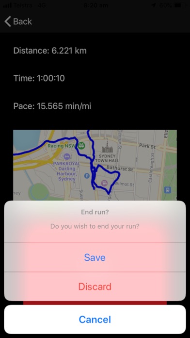
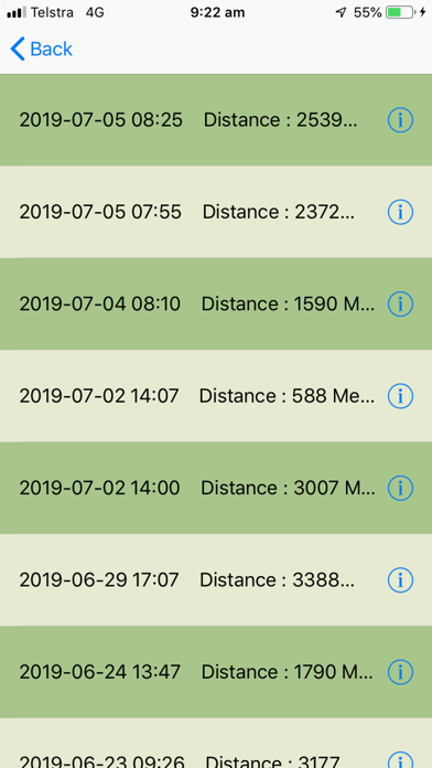
User could record the routes they have followed during the walking /jogging.
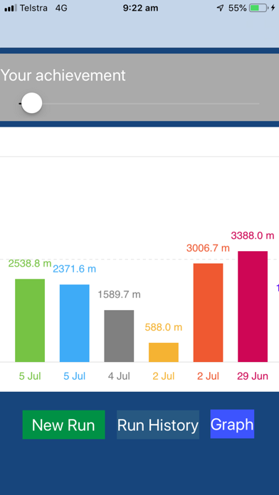
As soon as user open the app, user could see what distance they have achieve during last period of time, user could select the period of the time by slip the scroll bar on the top.
The Detail view will show the user the Geo informations on a route, including the distance in KM, average speed in KM/H, elevation changes on routes, a proximate steps count based on the average speed.
When user tap on bars of elevation chart, it will drop a pin on apple map with address and elevations that elevation chart bar represented, no only this, it will also bring a photo from user's device photo library where the photo has been taken with certain distance, the distance could be selected by user by slip the scroller on right side of the map.
While user tap on any location of the map, it will drop a pin and showing the address and again the photos from device library taken within certain distance.
Quoi de neuf dans la dernière version ?
This version added Apple Cloud share function, which means the walking track will be synced to Apple cloud service.
As long as App user log in Apple cloud service with same Apple ID, the routes created on one device could be loaded on the different device.
It also added the new feature which could adjust the horizontal accuracy which will allow the App to properly sampling the Geo information in Low GPS signal environments.
Thanks again MS Layla Mu for the great efforts during the start up of the App and valuable contribution to how the app will be more user friendly.