GPS Waypoints Lite
iOS Universel / Navigation
GPS Waypoints Lite is a surveying application for iOS devices that enables smartphones' users to collect, classify and export Points and Paths to become map creators. This multi-purpose solution, with an easy-to-use interface, is adequate for professional activities (earth sciences surveying, infrastructure monitoring, forest, agriculture, etc...) and personal activities (outdoor and tourism).
The GPS Wpts Lite includes the following features:
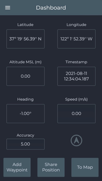
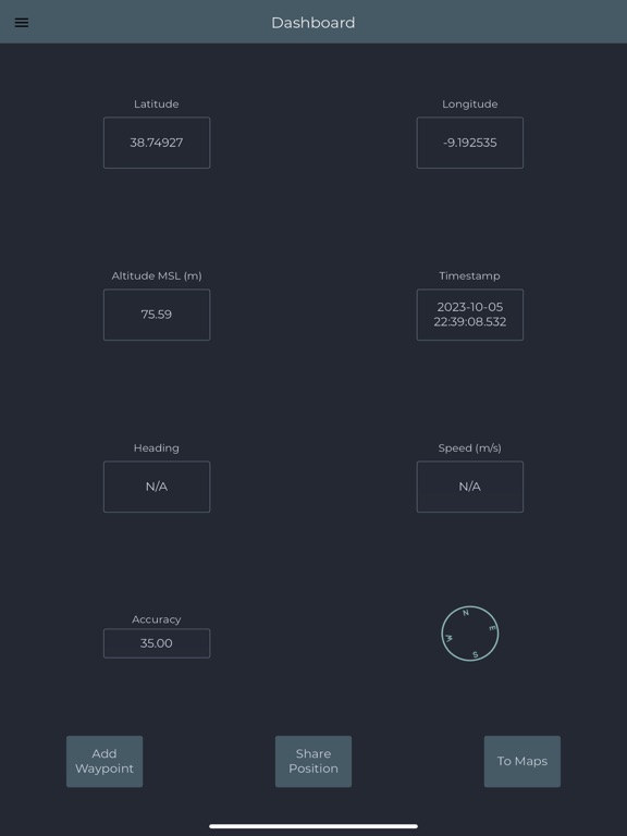
- View current position with accuracy and navigation information;
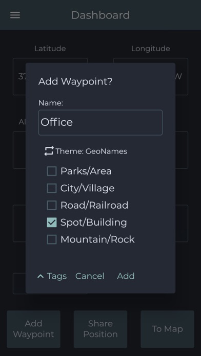
- Create Points and Paths with accuracy information and custom Tags classification;
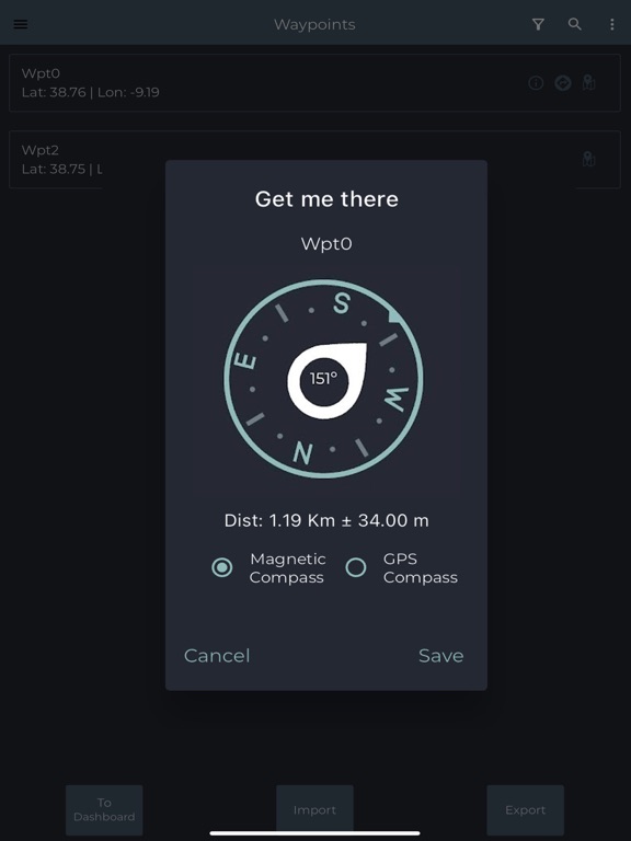
- Get directions and distances from current position to existing Points using the magnetic or gps compass;
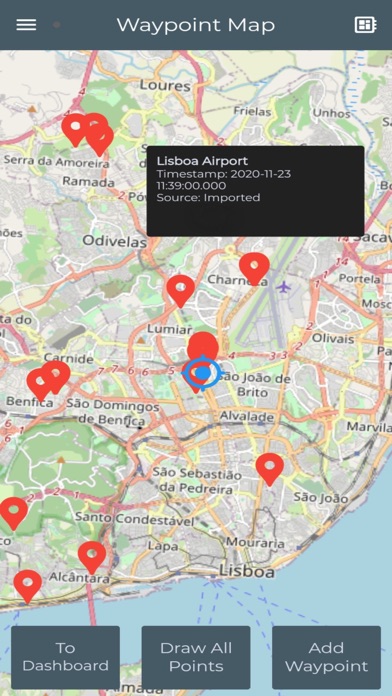
- Import Points from CSV, KML, GPX and Geojson files using geographic coordinates (Lat, Long in wgs84);
- Export Points to CSV, KML, GPX and Geojson files by saving data locally or sharing with other applications (e.g. Mail, iCloud/Google Drive);
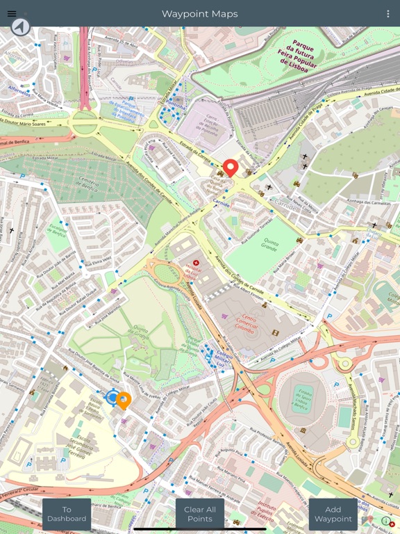
- Create Paths manually and automatically for producing tracks, routes or polygons;
- Create and use survey's Themes with custom Tags for classifying Points and Paths;
- View Geodata (Points and Paths) and measure distances on Maps;
- Satellite image processing requests (Premium);
- Backup and restore your data.
The regular version has advertising and is restricted in number of exports, while Premium is unlimited in exports and has advanced features.
Quoi de neuf dans la dernière version ?
- Improvement on Satellite images processing (Premium)