Pocket Maps
iOS Universel / Navigation
Welcome to Pocket Maps, the app for safely exploring the outdoors on public access land in Aotearoa, New Zealand.
Pocket Maps is developed and owned by Herenga ā Nuku Aotearoa, the Outdoor Access Commission,
and displays a range of maps and layers that are also available on the Herenga ā Nuku mapping system.
Pocket Maps displays Public Access Areas derived by Herenga ā Nuku from cadastral information, which indicate what land is publicly accessible.
The app also contains tracks, recreation spots, huts and campsite layers which are maintained and owned by other government agencies.
Features include:
• Publicly accessible areas in Aotearoa, shown by type
• Range of map layers for outdoor recreation
• Ability to generate elevation profiles
• Get coordinates and share
• Selection of high quality basemaps
• Offline map regions
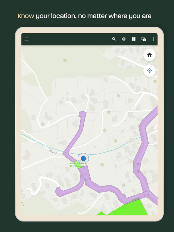
• Find your location
• Draw and measure routes
Quoi de neuf dans la dernière version ?
New Features - Pocket Maps v1.5
Map Layers
• DOC Huts & Campsites - including locations, weblinks and photos. Provided by Department of Conservation.
• Hunting & Fishing Access Points – including locations, descriptions and weblinks. Provided by Fish & Game New Zealand.
• River & Coastal Access Points – locations, descriptions, and access information. For the Canterbury region only. Provided by Environment Canterbury.
• Tracks & Trails– including Te Araroa, New Zealand Cycle Trail, Department of Conservation and local council tracks.
Basemaps
• Default with Relief – New version of the existing default basemap that also includes a relief hillshade of Aotearoa’s terrain underneath for topographical context. This feature is only available online.
• Imagery with labels – An alternative version to the existing Imagery basemap which also includes dynamic labels for roads, addresses, places, regions and localities. This feature is only available online.
General
• Get coordinates – long pressing the map now drops a pin and generates coordinates for the pin’s location which can be copied to the clipboard or shared using your devices sharing panel.
• Elevation Profiles– allows users to click on a track in the app and see it’s elevation profile in the pop-up. This feature is only available online.
• Help page – updated to include offline help documentation for using Pocket Maps’s interface, tools and data.
• News and Updates page – enables Pocket Maps users to see communications from the developers about new Pocket Maps releases, layers, basemaps and offline data, as well as other general messages such as warnings, alerts and user survey links.
Improvements
• Pop-ups – Pop-ups for all layers have been simplified for easier use with.
• Fields – fields for each layer have been refined and made easier to understand.
• Layer transparency – Public Access Areas layers now have increased transparency by default to ensure ease of use and ability to see underlying basemaps.
• Screenshots – allows users to take a screenshot of the map view and add annotations. These can be shared or saved to their device. Previously part of the “Measure” tool.
• Download map – offline area download interface improved to show download progress bar.
• New look and feel – simplified UI, tab names and colours with Herenga ā Nuku branding.