AcquiSIGN
iPad / Productivité
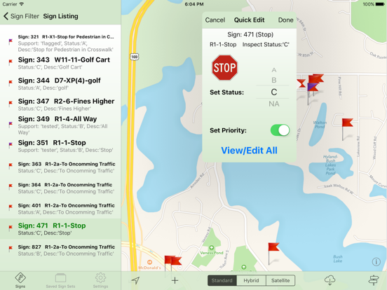
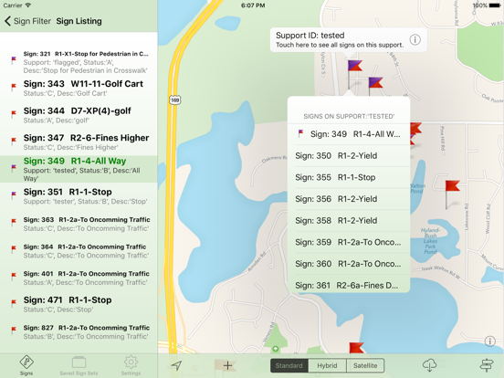
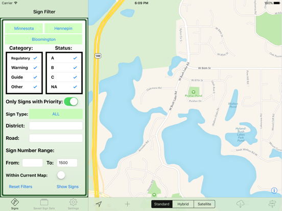
The AcquiSIGN application provides a registered user with the tools to create and edit a road sign inventory. Sign data is transferred realtime via cellular connection with a new option to save locally in the iPad when signal is intermittent or nonexistent. The unique drag and drop feature, using a road/hybrid/satellite map view, provides the greatest flexibility to locate a sign via GPS coordinates, from any user location. A photo of each sign may be captured and stored with several road sign attributes including retroreflectiviey measurements.
En voir plus...
Quoi de neuf dans la dernière version ?
Update to offline map source. Street as well as Satellite maps can be saved for offline use.