BioField
iOS Universel / Productivité
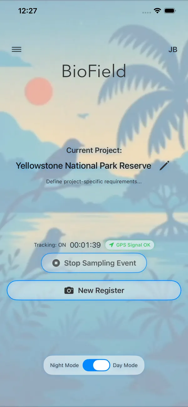
BioField is a professional tool designed for biologists, ecologists, environmental researchers, and citizen scientists to collect, manage, and analyze biodiversity data directly in the field, even in the most remote locations without internet or cell service.
By integrating accurate GPS path tracking, structured biological registration, and immediate ecological data analysis into a single, battery-optimized mobile experience, BioField eliminates the friction of traditional paper notebooks and delayed laboratory processing.
KEY FEATURES:
1. PROFESSIONAL BIOLOGICAL REGISTRATION
Record and organize your field observations or collections instantly.
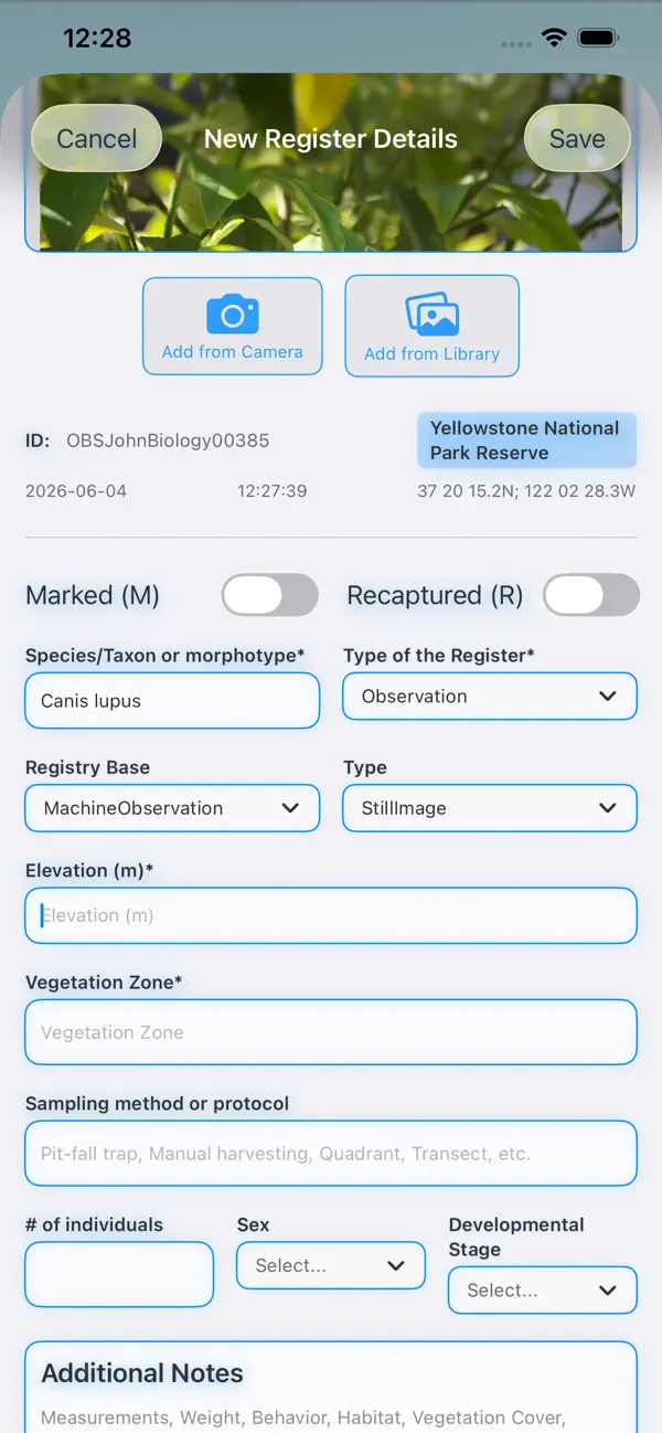
Take or import photos, automatically embedding precise GPS coordinates, timestamps, species taxa, and collector data.
Input standardized fields: Species/Taxon, development stage, individual count, sex, and custom fields.
Differentiate entry types: Observations, temporary collections, and permanent collections.
2. TAILORED PROJECT REQUIREMENTS
Define custom, mandatory requirements per project.
Create dynamic custom data fields (such as weight, canopy cover, temperature, or measurements) that adapt automatically to your record forms.
Set up targeted species lists to run structured population studies.
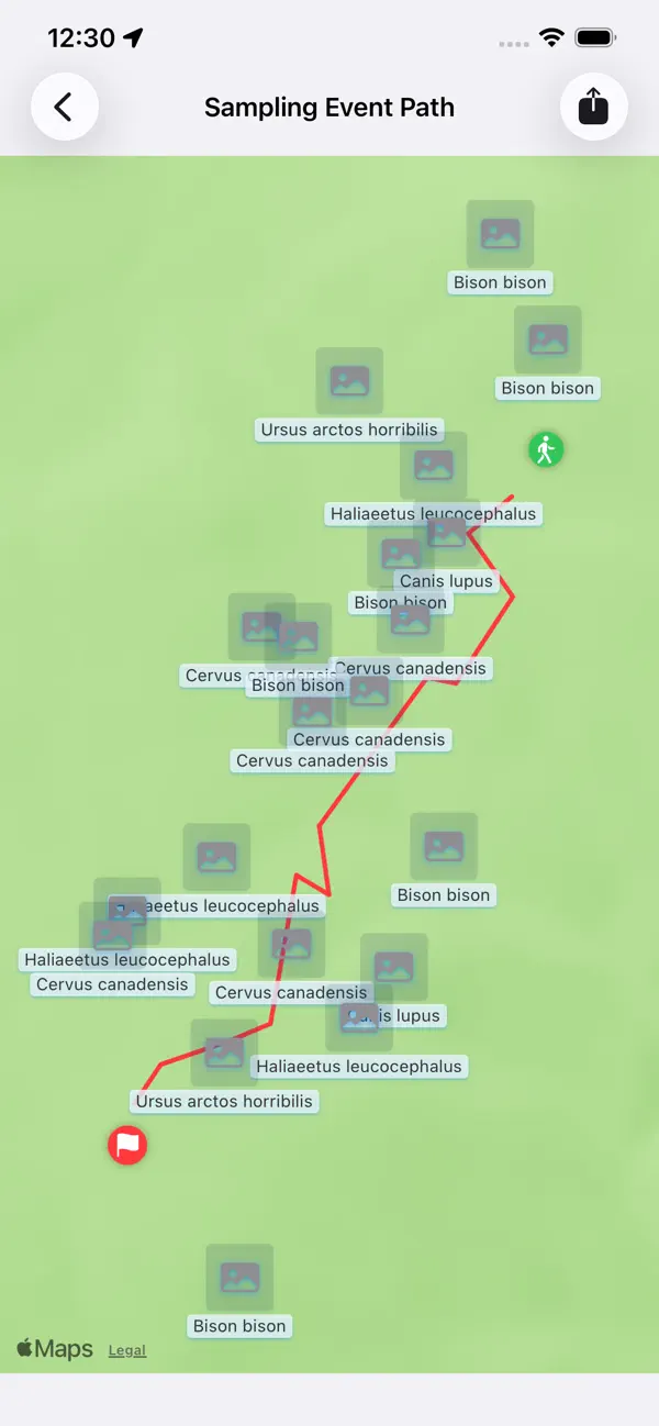
3. HIGH-ACCURACY GPS SAMPLING PATHS
Continuous background GPS path tracking records your transects and search paths.
Fully integrated with iOS Live Activities and the Dynamic Island to monitor tracking time and registers created without keeping your device screen on.
4. 100% OFFLINE MAPS
Download custom map regions with desired zoom levels before going to the field.
Display search paths, sampling events, and register locations seamlessly offline.
5. PRELIMINARY ECOLOGICAL ANALYSIS (IN SITU)
Process and visualize community metrics right in the field with robust analytical tools:
Alpha Diversity: Observed Species Richness, Shannon Index, Inverse Simpson Index, and Pielou's Evenness.
Species Accumulation Curves (SAC): Sample-based accumulation mapping including Chao1 (abundance-based) and Chao2 (incidence-based) estimators to assess sampling completeness.
Community Structures: Dynamic Rank-Abundance plots.
Beta Diversity: Group comparisons using Jaccard and Sørensen similarity indices.
Population Estimations: Pairwise sequential Lincoln-Petersen Mark-Recapture population size estimation (N) with coefficient of variation (CV) reliability indicators.
6. STANDARDIZED EXPORTS & BACKUPS
Darwin Core CSV: Export data fully structured according to global biodiversity database standards (GBIF, SIB, etc.).
BioField Archive (.biofield): Native complete project backups including raw databases and original photos for secure sharing and restorability.
Coordinate CSV: Streamlined tracking point and register mapping CSVs.
Metadata-Embedded Photos: Export images with permanently embedded metadata (GPS, dates, species, and authors).
Quoi de neuf dans la dernière version ?
• Register forms now clearly separate Mandatory fields from Optional fields.
• Offline maps: an on-screen frame shows exactly the area you'll download, and you can tap a downloaded map to preview its area, plus an explanation of how offline maps work.
• Create a project faster with a new "+" button on the main screen and the projects list.
• .biofield files are handled more reliably when shared or imported.
• Clearer project creation, localization, and UI refinements.