InfraMarker
iOS Universel / Utilitaires
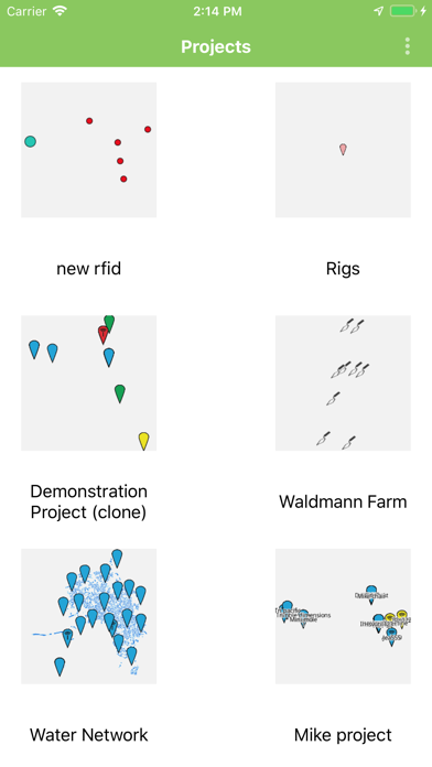
InfraMarker is Next Generation Mobile GIS (Geographic Information System).
Simple, Yet Advanced, Data Collection and Visualization.
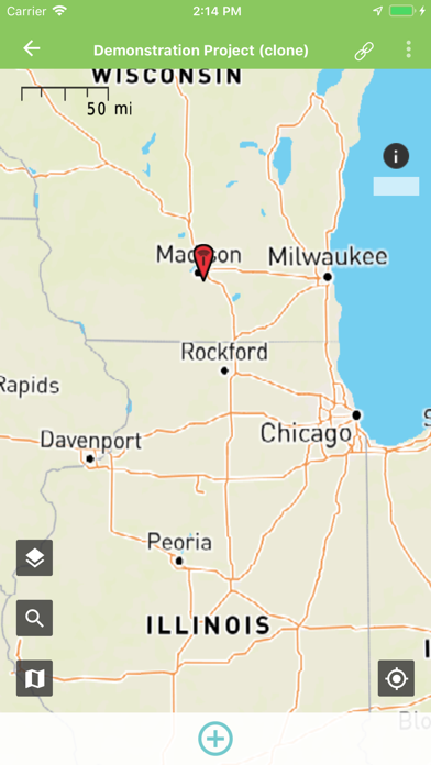
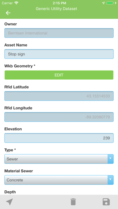
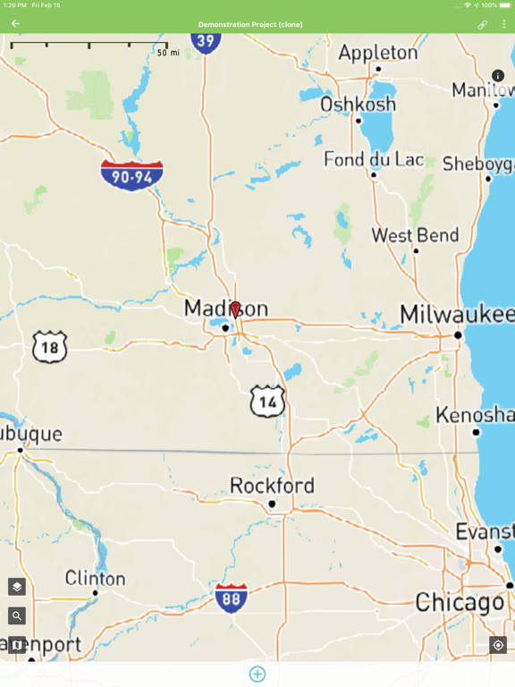
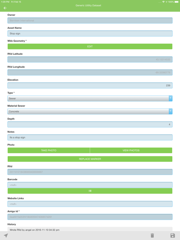
InfraMarker makes it easy to visualize, collect, edit and share large geospatial datasets using standard smartphones and tablets – even when offline.
Our team has contributed to much of the enterprise and open-source geospatial software in use today, and we are intimately aware of the limitations of available systems. We developed InfraMarker to address these issues and solve key pain-points for our customers.
InfraMarker solves the problems of Mobile GIS, by providing:
- Large geospatial datasets on your mobile device (points, lines and polygons).
- Offline 3D visualization, data collection, querying & editing (with background synchronization).
- Real-time updates of all data, forms and styling.
- Inexpensive scaling (thousands can collaborate in real-time).
- Full history retention (never lose an edit).
- Interoperability with industry standard products (Incl. Esri ArcGIS Desktop and Server Sync).
If you work with geospatial data you know the limits of mobile GIS, especially while out in the field. Issues include: storing large datasets; visualizing, editing and querying when connections are intermittent; collecting attributes for points, lines and polygons; editing geometries; data management; and much more.
Four ways to get data in & out of InfraMarker:
- Web Import/Export: Import .zip files with all your data, and export to all the common formats.
- ArcGIS Desktop Sync Tool
- ArcGIS Server Sync Service
- Direct API Access
InfraMarker supports import and export of over 40 vector and raster formats, and provides OGC and Open-Source Support.
Please contact us at info@amigocloud.com for more information.
Continued use of GPS running in the background can dramatically decrease battery life.
Quoi de neuf dans la dernière version ?
Improved sync reliability.