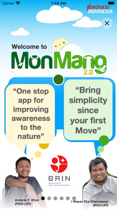
MonMang 2
iOS Universel / Utilitaires
MonMang 2 is a mobile app used for mangrove community structure field studies. This app offers an enjoyable new experience in recording data as a result of measurements in mangrove forests using a smartphone. MonMang 2 also helps users to analyze all of recorded data while recording. It also is able to make a final interpretation on mangrove health based on selected forest parameters in the measurement area.
MonMang 2 facilitates some features such as geographical position, time, tree-sapling GBH adjustment standard, camera hemispherical photography, height estimation which are needed for all activities during data collecting.
For More Information, please contact us
I WAYAN EKA DHARMAWAN, Research Centre for Oceanography
iwayanekadharmawan@gmail.com
ANDARTA FARDHANUL KHOIR, Centre for Data and Scientific Documentation
andartafk@gmail.com
National Research and Innovation Agency
-- Some icons were made by Freepik from www.flaticon.com
Quoi de neuf dans la dernière version ?
1.5.0:
- New protractor
1.4.4:
- Fixed bugs in documentation-related features.
- Fixed bugs in plot-related features.
- More species.
- New maps.
- More options for documentation.
- Fixed bugs.
1.3.2:
- Fixed clipboard.
1.3.1:
- Various maps were added.
- Above-ground and below-ground biomass were added.
- Deletable tags.
- Deletable hemispherical photos.
- Editable plots' metadata.