Forest Track
iOS Universel / Economie et entreprise
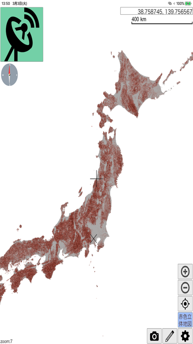
This app will trace the root that you walk with the device by GPS, and can display various forest GIS data provided by Asia Air Survey Co., Ltd, such as Airbourne picutre, orth data and red relief image.
You can carry out the detailed survey with these special data on site, which only can be done in front of the high spec computers in the office.
En voir plus...
Quoi de neuf dans la dernière version ?
Be able to create & edit lines, polygons and points