US Weather Hub
iOS Universel / Météo
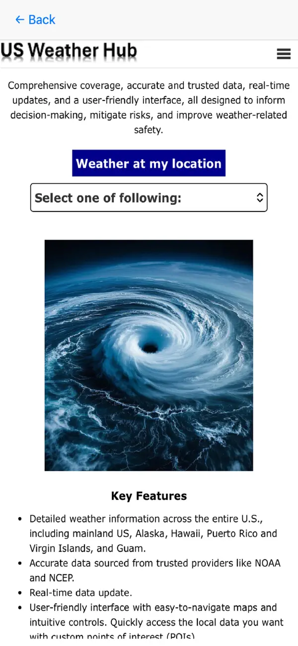
Stay ahead of the storm with USWeatherHub, aka USWeatherAlert – your comprehensive U.S. weather intelligence app.
Whether you're at home, traveling, or managing weather-sensitive operations, USWeatherHub empowers you with the most up-to-date, location-specific weather information available across the United States.
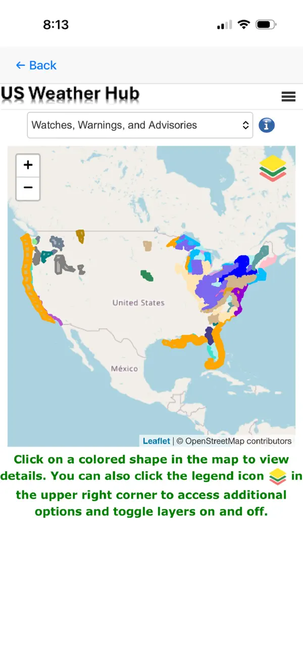
1. Watches, Warnings, and Advisories (WWA)
-Get real-time alerts from the National Weather Service.
-Color-coded layers help you quickly distinguish between advisory types (e.g., flood, snow, tornado).
-Tap on any alert for detailed information via popup windows.
-Toggle individual layers on and off to control visibility.
-Coverage: All 50 U.S. states and territories.
2. 3-Day Weather Outlook(Synoptic Overview)
-View upcoming weather systems and their movement across the mainland U.S.
-Includes detailed visualization of:
* Cold fronts
* Warm fronts
* Stationary fronts
* Occluded fronts
* Troughs
* High/Low pressure systems
-Designed for planners, meteorology enthusiasts, and emergency responders.
-Coverage: Mainland U.S. only.
3. 3-Day Precipitation Forecast
-Plan for rain, snow, and potential weather disruptions like flash flooding or heavy snowfall.
-High-resolution forecast visualization helps users prepare in advance.
-Coverage: Mainland U.S. only.
4. 3-Day Winter Impact Forecast (Available Oct 15 – Apr 15)
-Understand the severity of upcoming winter storms:
* Winter Weather Impact
* Minor Impact
* Moderate Impact
* Major Impact
* Extreme Impact
-Ideal for travelers, municipalities, schools, and logistics providers.
-Coverage: Mainland U.S. during winter season.
5. Current Surface Observation & Oceanic Data
-Access real-time observational data across U.S. land and coastal stations.
-View station-level measurements such as:
* Air temperature
* Sea level pressure
* Visibility
-Aggregated points offer a clean overview, with drill-down capability for localized details.
-Coverage: Entire U.S., including coastal regions.
6. Wind Distribution Map
-Monitor current wind direction and speed in a single glance.
-Great for pilots, sailors, wind energy operators, and weather enthusiasts.
-Coverage: Entire U.S.
7. Point of Interest (POI) Forecast & Tracker
-Tap anywhere on the map, or search by zipcode, or city/state
-Get a detailed 7-day forecast including hourly breakdowns for temperature, precipitation, wind, and WWA alerts.
-Add and manage multiple POIs to track weather across several locations simultaneously.
-Expand any weather item for more information.
-Coverage: Entire U.S.
8. Routing with Weather
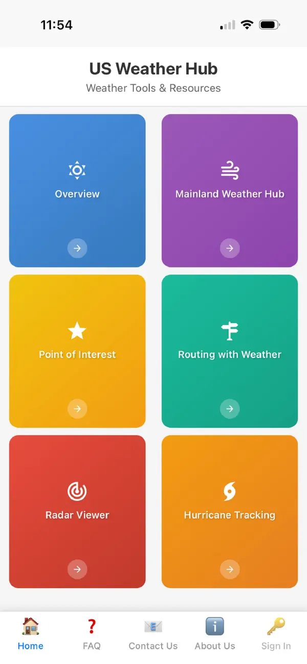
Routing with Weather is an application designed to combine navigation and weather intelligence into a single, easy-to-use experience. Instead of simply showing directions from one location to another, this tool enhances trip planning by integrating weather forecasts directly into your route. By aligning arrival times with forecast data, users can better anticipate road conditions and make informed travel decisions.
9. Radar Viewer:
Radar Viewer takes complex data from meteorological radar stations and translate it into a highly visual, easy-to-understand map. Essentially, a radar viewer bridges the gap between sophisticated raw weather science and everyday public utility.
10. Hurricane Tracking:
Hurricane tracking is the scientific process of monitoring, analyzing, and predicting the path and intensity of tropical cyclones. For the public, this complex meteorological effort translates raw data from agencies like the NOAA into actionable visual information.
Whether you're a commuter, traveler, emergency planner, or weather enthusiast, USWeatherHub keeps you prepared — always. Download now and never be caught off guard by the weather again.
Quoi de neuf dans la dernière version ?
Add Radar Viewer and Hurricane Tracking