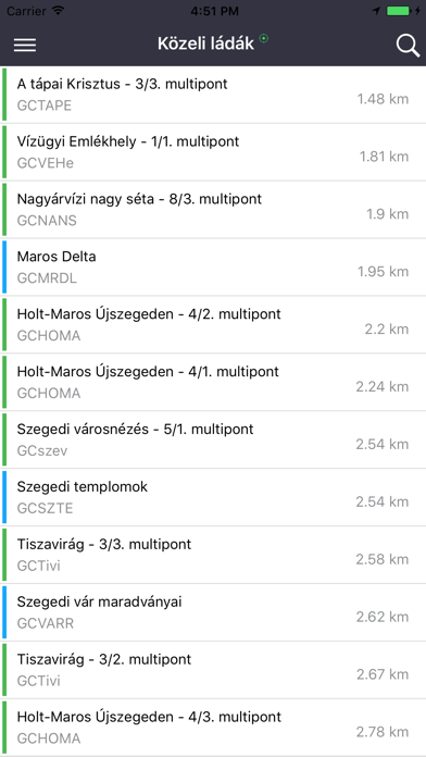
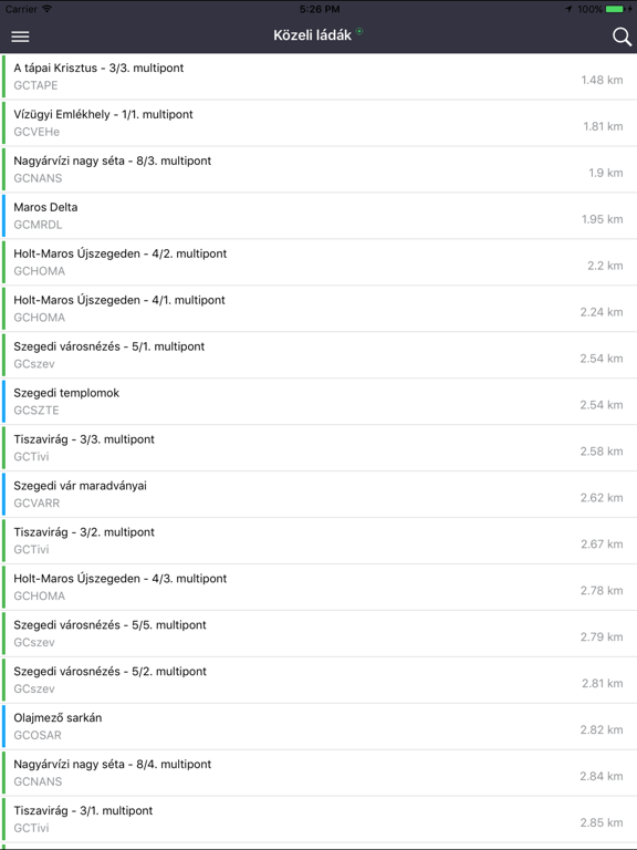
Geoládák
iOS Universel / Navigation
Geocache map based on the Hungarian Geocaching Association (KHE) database.
Key features:
- Browse geocaches and log your finds on geocaching.hu
- Free cloud storage for backing up your personal data
- Multiple vector and raster map types, including offline maps
- Route planning and navigation
- Import/export GPX files, plus hundreds of ready-to-use hiking routes in the Trail Catalog
- National Blue Trail accommodations, bivouac sites, and Dendomania data from heyjoe.hu
- Public and drinking water fountains from the kozkutak.hu database
- Useful OpenStreetMap POIs, including viewpoints, mountain huts, rest areas, ATMs, fuel stations, and more
More information: https://www.facebook.com/geoladak
Quoi de neuf dans la dernière version ?
- Full language support in English and the languages of neighboring countries (German, Slovak, Ukrainian, Romanian, Serbian, Croatian, and Slovenian).
- Log statistics added to the "My Logs" section.
- New vector map layer element: Cycling routes in the "Geocaches" layer.
- Performance improvements and bug fixes.