Arcona AR Scanner
iPad / Utilitaires
AR Scanner is designed for Arcona AR World users.
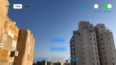
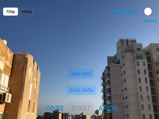
It allows to collect and send terrain datasets to the Arcona server. The dataset consists of a video sequence, imu data (accelerometer + gyroscope) and gps.
On the Arcona server, the dataset will be processed and turned into a map of the area.
After that, the owner of this mapped area will be able to remotely and accurately place 3D content on it, and all Arcona users in this area will be able to accurately position and observe 3D content.
En voir plus...
Quoi de neuf dans la dernière version ?
Added indication of the quality of the collected dataset.
- While collecting, the user receives visual tips that will improve the quality of the resulting map.
- Upon completion, a preliminary assessment of the quality of the map is displayed.