WhatMountain
iOS Universel / Voyages
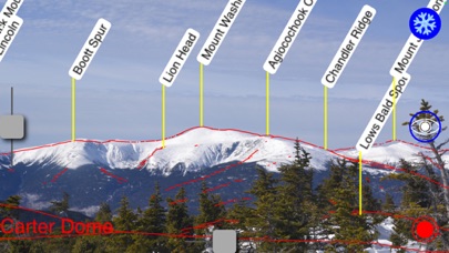
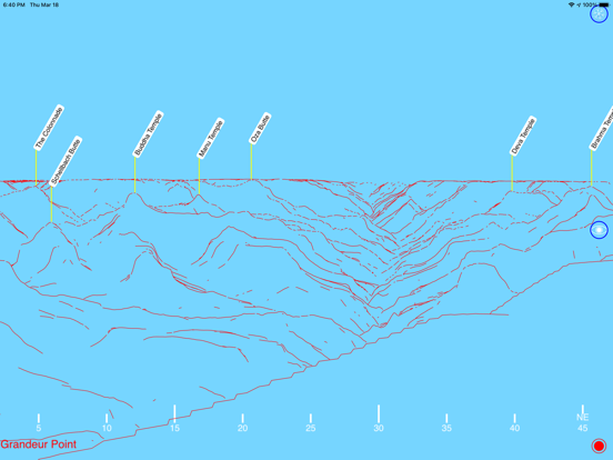
Have you ever wondered what is the name of that mountain over there?
Now stand at your vista and hold your iPhone up and have all those mountains labeled for you! As you turn, the scene on your iPhone turns with you. Mountains to the north - hills to the west - all are now labeled for you.
With the "Live-View" option, WhatMountain will draw mountain profiles and names over a real-time images.
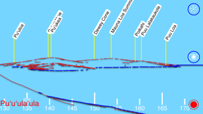
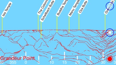
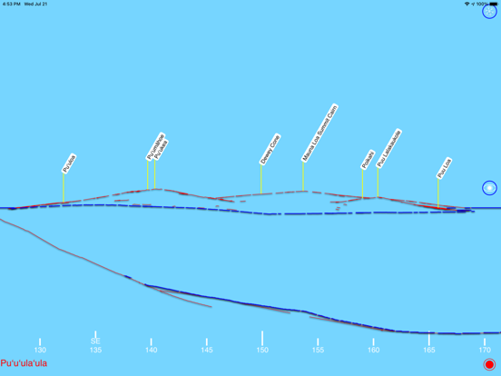
You can also enter the name or latitude/longitude of a place and see the view from that mountain top. Or load up a photograph, and use the GPS information in the jpeg file.
It does take data, but you can download it from the US Geological Survey before you head to the mountain.
It displays vistas from anyplace in Canada, Mexico and the United States - including all 50 states, Puerto Rico & the Virgin Islands.
Quoi de neuf dans la dernière version ?
WhatMountain now covers Canada, Mexico and the United States - including all 50 states, Puerto Rico & the Virgin Islands.
WhatMountain also draws shoreline for islands, the seacoast and lakes.