Muvy
iOS Universel / Forme et santé
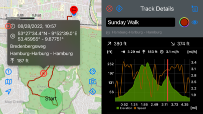
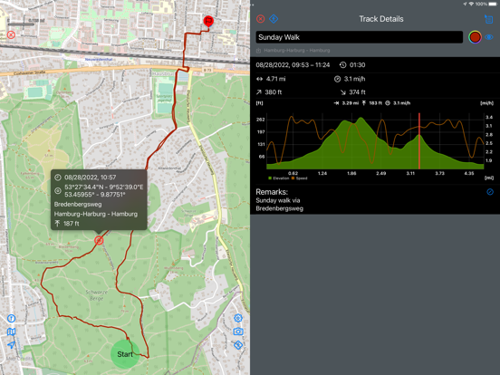
Muvy is an app for recording hikes, runs, bike rides or other outdoor activities. It is not intended for planning tours; there are better tools for that. However, planned tours can be imported in GPX format, and tracks recorded with Muvy can also be saved or shared as GPX files.
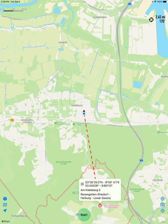
The main purpose of Muvy is to record the route covered during a tour and compare it with a planned track or a specified destination. Muvy has its own data structure for imported or self-made tracks. Tracks can be stored in a folder structure of any depth, but there is also a convenient search function. Tracks can be colored and shown or hidden on the map.
In addition to Apple maps, Muvy also uses map material from other providers (e.g.
OpenStreetMap®). Furthermore, other (possibly chargeable) maps can also be integrated (e.g. OpenCycleMap or OpenOutdoorsMap).
Routes recorded with Muvy can also be transferred to the Health app. This transmission is turned off by default and can be turned on in Muvy's settings menu.
Quoi de neuf dans la dernière version ?
- Follow Track: detailed information about the remaining track
- Loosened requirements about the location services: only required when app is in use


