Moniteur de Séisme
iOS Universel / Météo
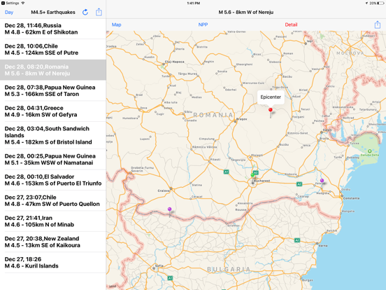
This app will display a map that includes the earthquake and and I nuclear power plant.
We look at the information of the earthquake of recent around the world. When you select an earthquake from the list to display the map. Red pin epicenter, green pin current position, purple pin is the first and the second nuclear power plant near the epicenter. Press and information of the earthquake the Details button on the map, you will see the nuclear power plant of the information to press the nuclear button.
Earthquake that is displayed is magnitude 4.5 or more. Selection can feed a day, week, and month. The day, the week will be updated at five-minute intervals. In addition, the moon will be updated at 15-minute intervals. Data of the earthquake was using a feed of the USGS (US Geological Survey). In addition, data of the nuclear power plant is a Wikipedia article.
Quoi de neuf dans la dernière version ?
bugs has been fixed.
The notation of earthquake place names in Simplified Chinese has been revised.
Place names near the epicenters of recent earthquakes of magnitude 6 or higher, such as Ozernovskiy in Russia, are now translatable.


