iAIS
iOS Universel / Navigation
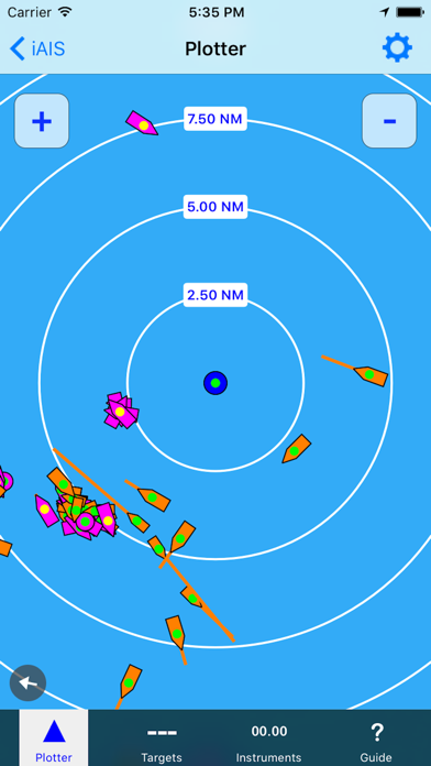
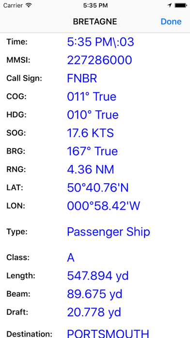
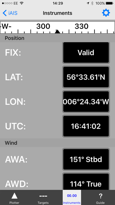
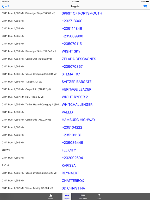
iAIS is a simple AIS target plotter and NMEA data instrument designed for use with the DigitalYacht iAIS WiFi receiver. AIS targets are plotted relative to iPhone/iPod/iPad position. Tapping on an AIS target displays details (i.e. speed, course, destination, type, length, etc.). GPS and Wind data can also be viewed on the Instrument panel.
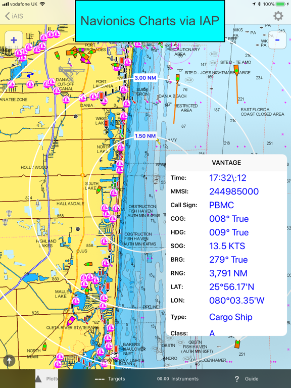
You can also display the AIS targets over your Navionics charts. With a one off In App purchase, iAIS can use all your existing Navionics charts with no additional charges for the charts.
You can share your boat's live position, speed and course and be visible on other free internet based AIS apps and web sites like BoatWatch and MarineTraffic if you have a valid MMSI number for your boat.
In the US you can obtain an MMSI number for your boat by visiting http://www.boatus.com/mmsi.
In the UK visit https://www.ofcom.org.uk/manage-your-licence or email us for an internet only MMSI number.
Please note that continued use of GPS running in the background can dramatically decrease battery life.
NOT FOR NAVIGATION
iAIS should only be used for basic navigation reference and should not be solely relied upon to determine precise locations, proximity, distance, or direction.
Quoi de neuf dans la dernière version ?
Updated to work with iOS14 and later
You can now manually select and download all the Navionics charts for an area, whilst you have a good internet connection. The charts are then stored on your iOS device, so that they can be displayed whilst sailing offshore (and offline) as in the Navionics apps. This is particular useful for Wi-Fi Only iPads, but also for devices with a 3G SIM, to avoid any problems with missing charts when you lose the mobile phone signal.