Israel Hiking Map
iOS Universel / Navigation
Israel Hiking Map is a powerful, yet simple to use, navigation and route-planning tool for the outdoors.
Geared towards hikers, bikers and off-road drivers it keeps you oriented in the Israeli backcountry even with no cellular reception.Use crisp topographic maps to navigate, familiarize with nearby points of interest, plan, import and share routes, synchronize effortlessly with our trip-planning site and much more.
Here’s what you get for free:
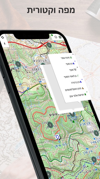
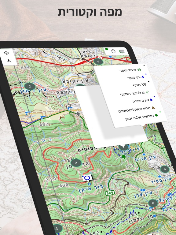
Maps
- Vector maps with unlimited zoom with no loss of quality
- A hiking map, complete with blazed trails
- A biking map, compete with single tracks marked for difficulty and marked bike routes
- Hebrew and English versions of all maps
- Text labels that orient to the viewers’ perspective
- A satellite image
- Transparent map overlays to show topography and trails over the satellite image
Depth perception
- High resolution contour lines based on spatial data from NASA
- Dynamic hill-shading which changes as the map rotates for accurate depth perception at a glance
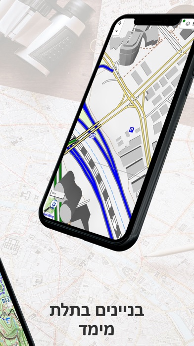
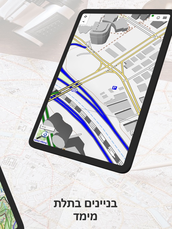
- 3D models of many buildings in urban areas
Navigation
- Show your position and direction
- Orient the map north or in your direction of movement
- Record your path as you travel
- Analyze your speed and distance traveled
Routes
- Search for nearby routes for walking, driving and biking
- Plan your own routes – they would automatically follow the roads and paths on the map
- Manipulate routes – reverse, split or merge them at will
- Handle several routes at once
- Effortlessly synchronize with the routes you plan on our website
- Share routes or save them on your phone
- Analyze the height profile of routes
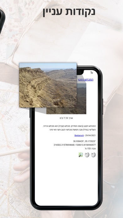
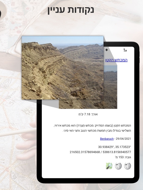
Points of Interest
- An extensive list of historical sites, tourist attractions, campsites, springs and viewpoints to visit
- Easy access to geo-located articles from Wikipedia and iNature
- Easily add your own POIs to the map
Offline Map Purchase:
You can buy a yearly subscription to our offline maps. Use them when you are out of reception or want to save your battery. The maps are continuously updated.
For EULA see: https://www.apple.com/legal/internet-services/itunes/dev/stdeula/
Quoi de neuf dans la dernière version ?
See https://github.com/IsraelHikingMap/Site/milestone/98?closed=1