QLD Fires
iOS Universel / Actualités
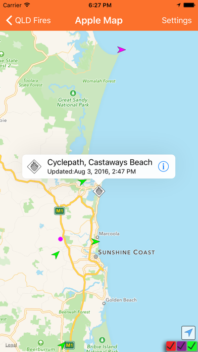
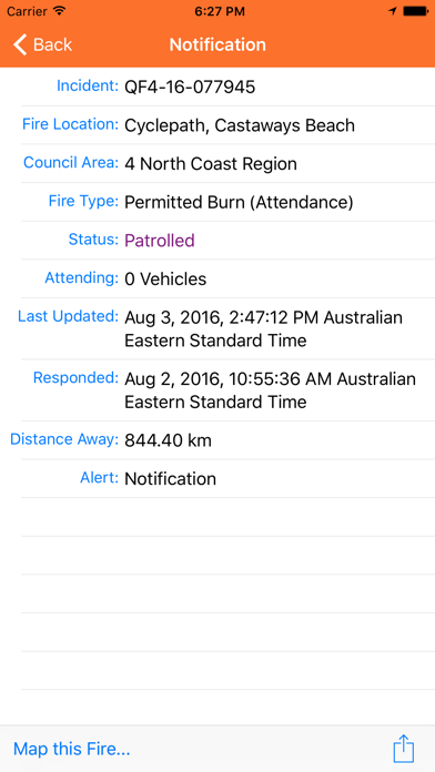
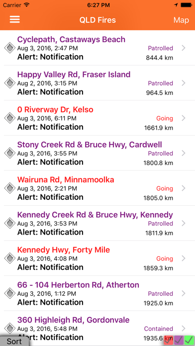
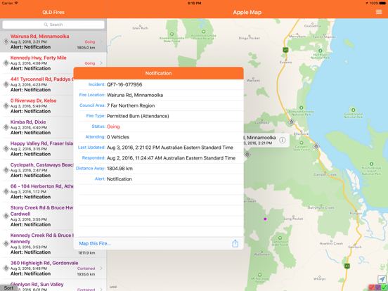
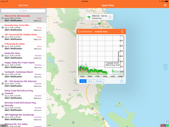
The QLD Fires application is designed to provide information on current fires within the state of Queensland Australia. The information is displayed in a list or map view to enable the user to understand how far the fire is from a user.
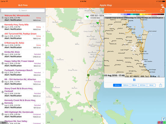
The application also maps current wind and satellite "hotspot" data to try and provide as much information as possible.
It utilises fire information from the Queensland Fire and Rescue Service, wind information from the Australian Bureau of Meteorology and Satellite "Hot Spots" from Geoscience Australia.
En voir plus...
Quoi de neuf dans la dernière version ?
Fixed a few things to help with appearance in iOS 26.