Topcon Field Mobile
iOS Universel / Economie et entreprise
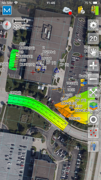
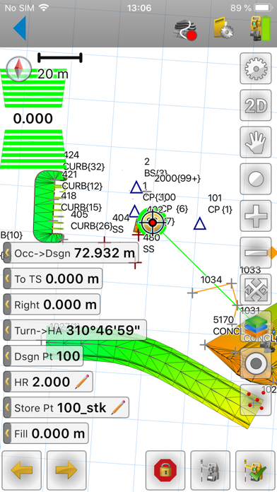
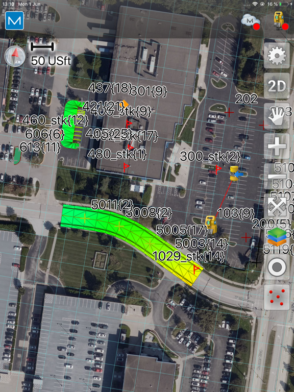
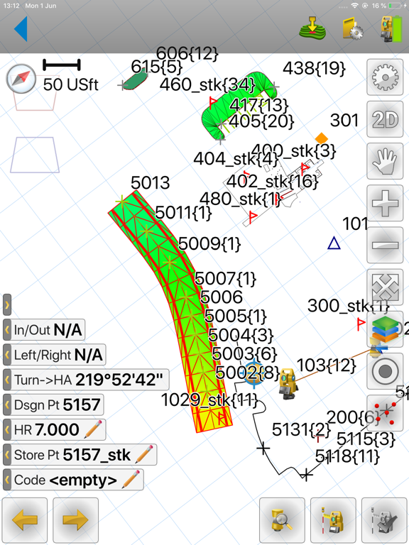
Topcon Field Mobile app is focused and ready to drive Topcon/Sokkia Total Stations and GNSS receives for precise design layout needs as well as quick and intuitive options for field measurements.
Topcon Field Mobile provides assisted navigation to any point, line/area, surface or feature on your project site through constant real time positioning.
Topcon Field Mobile also offers instant ability to securely login to your private Company Account within the MAGNET system to exchange files while standing at active projects sites.
Quoi de neuf dans la dernière version ?
What’s new (v10.1.1)
- Fixed Wi-Fi connectivity to LN-series on iOS devices
What’s new (v10.1)
- Added support for bundle activation (pilot phase)
- Bug fixes and stability improvements.
(Bundle activation will be rolled out more broadly in a future update. There is no impact to current activation workflow.)
What's new (v10.0)
- Added support for TILT in Hybrid Positioning mode. TILT functions now also available for optical measurements when in hybrid mode
- Integration with ESRI ArcGIS
- 3D models, added support for 3D models
- Added support for depth sounder
- Added Topo Surface routine
- Added full support for string roads