Polis Inventory
iOS Universel / Education
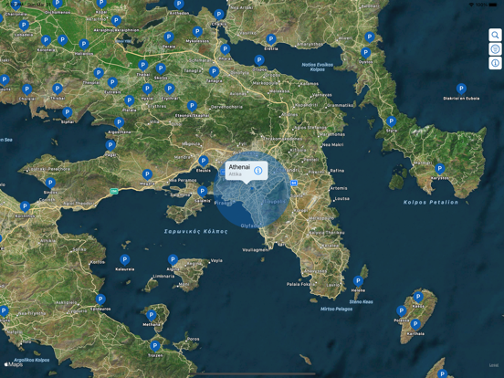
Polis-Inventory maps the ancient Greek settlements from the Archaic and Classical periods (c. 650–325 BCE) as identified in the pioneering work published by the Copenhagen Polis Centre, An Inventory of Archaic and Classical Poleis by M. H. Hansen and T. Nielsen (Oxford, 2005; here referred to as the “HN Inventory”).
The digital dataset in Polis-Inventory, based on the HN Inventory, comes primarily from the website polis.stanford.edu, managed by Stanford University’s Department of Classics. The dataset reflects ongoing digitization and enhancement of the original print work by the Stanford team and subsequent classical scholars. We continue to advance the data, improving locations and correcting errors as they are encountered.
Polis-Inventory is an informative, interactive companion to the HN Inventory, allowing visualization, search, and filtering of the poleis using a set of physical and historical parameters. Parameter definitions are available in context as you browse. Further detail and attribution can be found at odysseymaps.io, polis.stanford.edu, and in the HN Inventory itself.
If you would like a copy of the data in this app, you can copy it to your clipboard in GeoJSON format from the About page.
Privacy: No user data is tracked or stored by Polis-Inventory.
Support: An optional Tip Jar is available to support ongoing development (tips are voluntary and don’t unlock features).
Independence: Polis-Inventory is an independent companion and is not affiliated with, sponsored, or endorsed by Stanford University or Oxford University Press.
Quoi de neuf dans la dernière version ?
Small Update:
* Improved the location of ancient Methone, Macedonia based on information provided in a recent publication of Hesperia Vol. 94, Num. 3 July-September 2025
* Maintenance update for iOS26.1