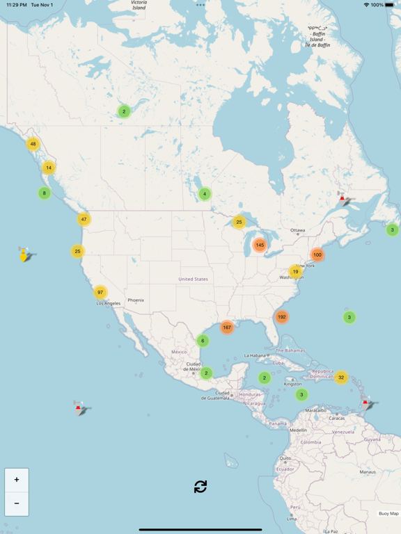
Buoy Map
iOS Universel / Météo
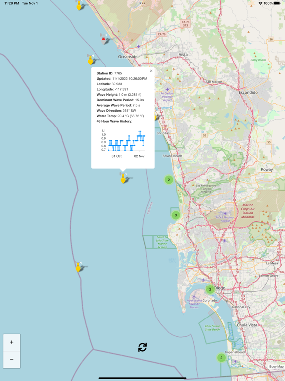
Buoy data includes (each buoy has a different set of instruments so not all sensors apply to every buoy):
* Graph of 48hr wave height
* Wind Direction
* Wind Speed
* Wind Gust Speed
* Wave Height
* Dominant Wave Period
* Average Wave Period
* Wave Direction
* Air Pressure
* Air Pressure Trend
* Air Temperature
* Water Temperature
I plan to add new features frequently and I hope that you find this app helpful. Suggestions and constructive criticism is welcome.
Enjoy!
Open Source Credits: this Buoy Map app uses OpenStreetMap.org as a map provider and Leaflet.js as the map and icon engine.
En voir plus...
Quoi de neuf dans la dernière version ?
No changes, updating to latest build platform