3D Map New Zealand
iOS Universel / Navigation
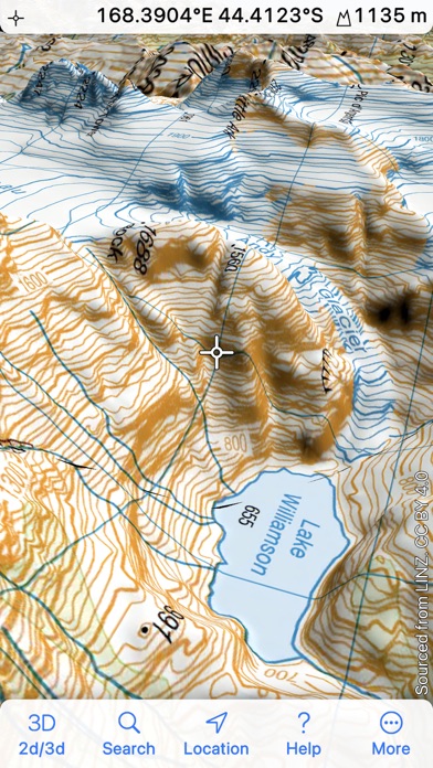
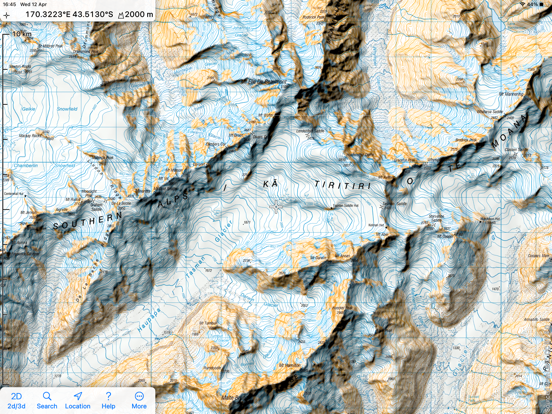
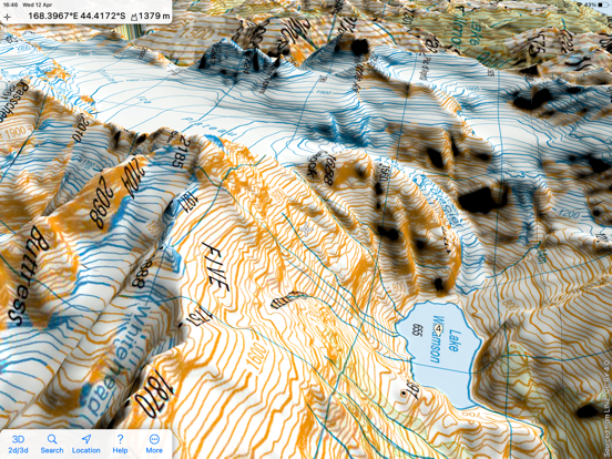
Topographic maps and satellite imagery from Land Information New Zealand in 2D and 3D. 1:250,000 maps and imagery are built in; download the 1:50,000 maps that you need. No network connection needed once maps are installed. Record your track, and share GPX files with other apps and devices. Hybrid map mode combines topo with imagery. Panorama mode shows silhouette of what's visible from anywhere on the map. Draw routes on the map; plot graphs of speed and altitude. "Fly" along routes in 3D
Quoi de neuf dans la dernière version ?
New features include:
* While drawing routes, the pencil can now snap to roads and tracks on the map.
* The path actions menu has a new "add altitudes" action.
* In 3D mode, you can now rotate the map with a two-finger gesture in the obvious way.
* A new Map Appearance setting lets you determine whether, in 3D mode, the app tries to hide waypoints, tracks and routes behind any foreground terrain.