London Tube 3D Map
iOS Universel / Navigation
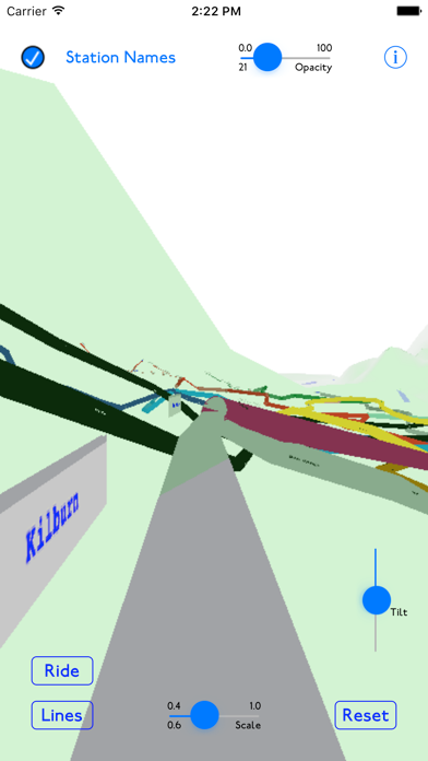
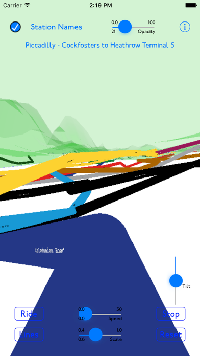
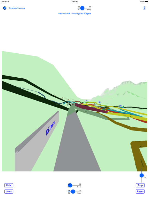
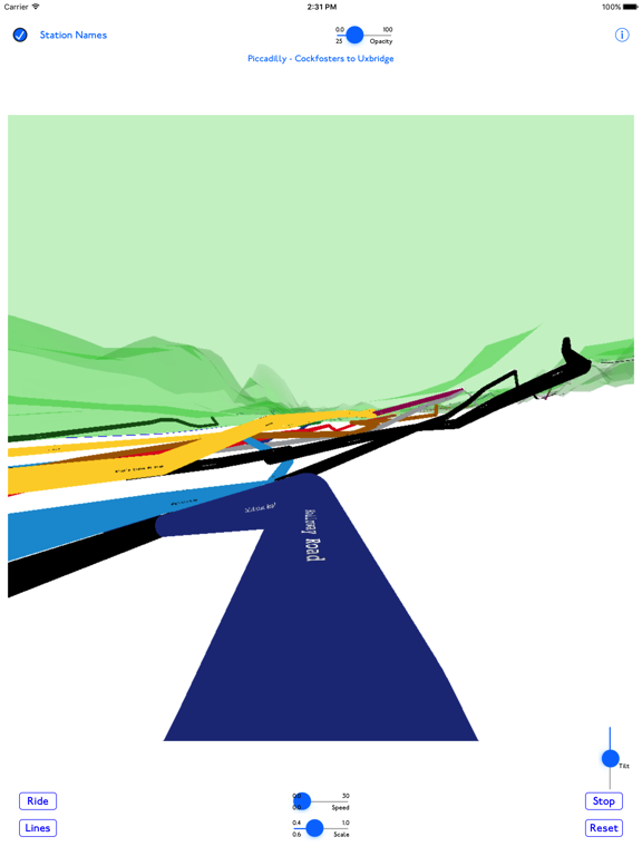
This is a 3D map of the London Underground, using actual ground elevations, track depths and station locations.
The map can be manipulated by standard iOS gestures to zoom, pan, rotate and tilt the map.
You can take a simulated ride on any of the system's lines, or choose a start and end station and ride on a calculated route between the two stations.
En voir plus...
Quoi de neuf dans la dernière version ?
This update from Apple will improve the functionality of this app. No new features are included.