Geo Measure (Distance & Areas)
iOS Universel / Navigation
This map is useful for everyone. Land Surveyors, Real Estate Professionals for measuring land, Boaters & Hikers and recreational activists to draw waypoints, travellers, new land buyers, businessmen etc.
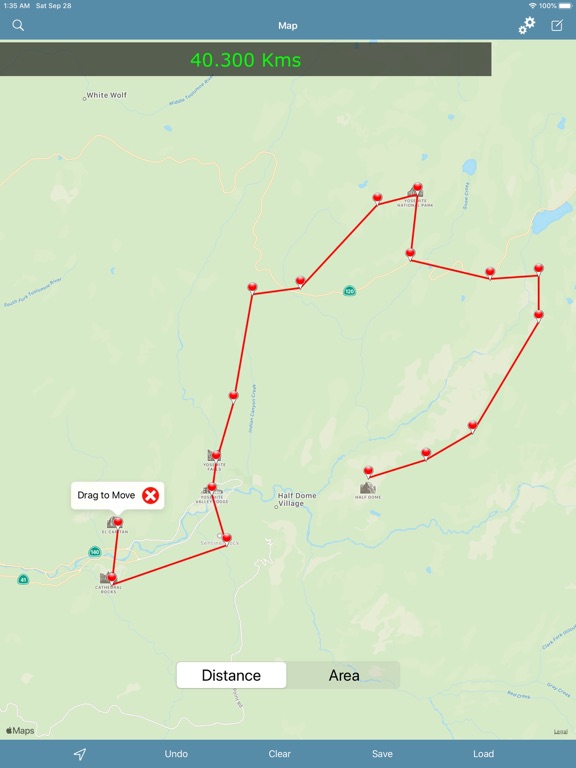
New Geo-Measure helps create (Lines & Polygons) to measure "Distances & Areas" on map more easier than before.
:- Add unlimited markers to draw and measure map lines or regions.
:- Create and Store Lines and Polygons (Areas).
:- Email Area or Distance in KML format.
:- Manage Drawings (Load, Send or Remove).
:- Accurate Measurement Results.
:- GPS User Tracking functionality.
:- Map Local Search functionality.
:- Most frequently used Units for measurement of Areas and Distances.
:- Handy Settings, any changes made will apply instantly. Need not have to redraw.
Please note that internet connection is required for map and search features.
Quoi de neuf dans la dernière version ?
iOS 13 & Latest Devices Compatibility.
Fixed the bug while entering text (alphabets) using map search & while saving measured objects.
Fixed the bug when trying to load saved measurement data from list on to the map which was not directing to map. Now works fine.
Minor User-Interface changes.


