Atlas: Maps & Facts
iPad / Références
Discover the world in the palm of your hand.
Atlas: Maps & Facts offers detailed, up-to-date maps and essential facts for over 250 countries and territories — all accessible offline, anytime, anywhere.
Key Features
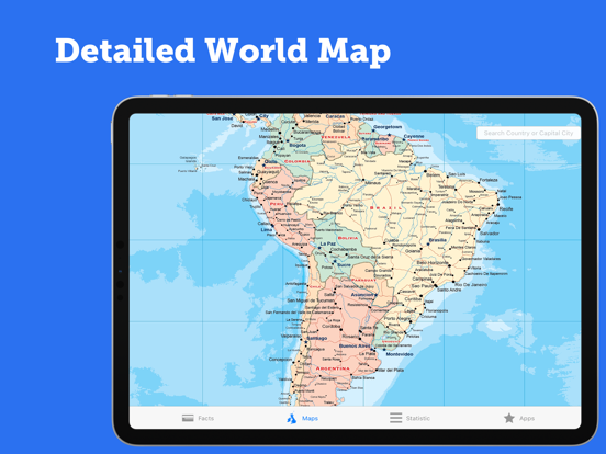
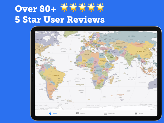
– High-resolution political world map
– Regional maps: North & Central America, South America, Europe, Africa, the Middle East, Asia, Southeast Asia, and Oceania
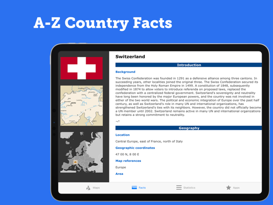
– Country profiles with population, languages, government, GDP, and more
– National flags of over 250 world entities
– Quick reference maps for fast lookups
– 100% offline access – no internet needed
Whether you're a student, traveler, or lifelong learner, Atlas: Maps & Facts turns your iPad into a powerful world reference tool.
En voir plus...
Quoi de neuf dans la dernière version ?
Fix links