Explore the Badger Lands
iOS Universel / Voyages
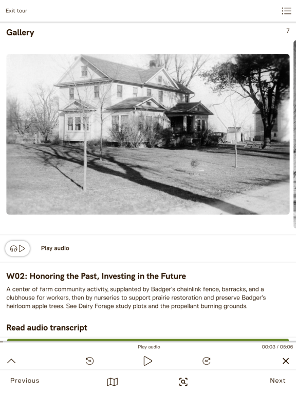
EXPLORE THE BADGER LANDS is a free mobile app that features a self-guided, non-linear tour of the former 7,350-acre Badger Army Ammunition Plant. Since 1997, efforts to transform the Badger Lands have resulted in a natural prairie and recreation area that is now enjoyed by thousands of visitors each year. Touring the Badger Lands is an enriching environmental experience, but most of the area’s fascinating history is hidden to those who visit. This app uses GPS to help users locate nearly 70 points of historical interest on public access roads, regional trail systems and along the Great Sauk State Trail.
As a navigational and interpretive tool, Explore the Badger Lands offers audio-visual content on the geologic, natural, cultural and conservation histories across the former Badger Army Ammunition Plant, on properties managed by the Ho-Chunk Nation (Maa Wakacak [“Sacred Earth”]), Department of Natural Resources (Sauk Prairie State Recreation Area (SPSRA)), and US Dairy Forage Research Center. It’s especially useful for visitors exploring the 3,450-acre SPSRA which has been open to the public since 2018. The other properties have no public access but can be viewed from the adjacent public roads and trails.
Located in Sauk County off Highway 12, the Badger Lands are among Wisconsin’s and the region’s most unique green spaces. They are contiguous with the Baraboo Hills and Devil’s Lake State Park to the north.
LEARN ABOUT CONSERVATION PROJECTS & ISSUES
•Prairie and oak savanna restorations and remnants
•Wetlands and hydrology
•Agricultural research
•Bird habitat and diversity
•Frogs and salamanders
•Small mammal studies
•Controlled burns
•Contamination, landfills and groundwater monitoring
•Shrub control and plantation clear-cuts
•Invasive plant species
EXPLORE HISTORIES
•Geology at the eastern edge of the Driftless
•The Ice Age, moraines and kettle ponds
•Ho-Chunk Nation
•Early European farmsteads and evictions
•Badger Ordnance Works / Badger Army Ammunition Plant
•World War II, Korean War and Vietnam War effects on local communities and economics
•Army decommission and deconstruction era
•Conservation
TRAILS FOR ALL TYPES
•Walking, hiking and running
•Biking on the Great Sauk Trail (a section of the rail-trail)
•Mountain biking
•Horseback riding
Download the EXPLORE THE BADGER LANDS app today and let it help you guide your way!
This app was created by the Sauk Prairie Conservation Alliance, a small non-profit organization located in Sauk County. The Alliance promotes cooperative conservation on the Badger lands and in the surrounding Sauk Prairie landscape, through conservation-related educational activities.
EXPLORE THE BADGER LANDS APP is supported in part, by a Badger Oversight Management Commission grant in 2020 and a “Good Idea” grant from the Sauk County Extension Education, Arts & Culture Committee and the Wisconsin Arts Board with funds from the State of Wisconsin in 2021. Content on this app was initially supported by Greater Sauk County Community Foundation and Wisconsin Arts Board grants in 2018.
In addition to these past and present sponsors for EXPLORE THE BADGER LANDS APP, the Alliance is also grateful to Mike Mossman for identifying the points of interest and writing the content, Heather Sonntag for building the app, Ellen Kinzer for building the Story Map on which this App is in part based, as well as the Badger History Group and Sauk County Historical Society for permission to use historical images from their archival collections.
Note: This app relies on GPS for its navigation functions. For the best experience, it is recommended to use the app on iPhone and iPad cellular and wifi models. It is not recommended to use the app on iPad wifi-only models due to the lack of built-in GPS support in these models.
Quoi de neuf dans la dernière version ?
Small bug fixes and improvements