TrailTool
iOS Universel / Navigation
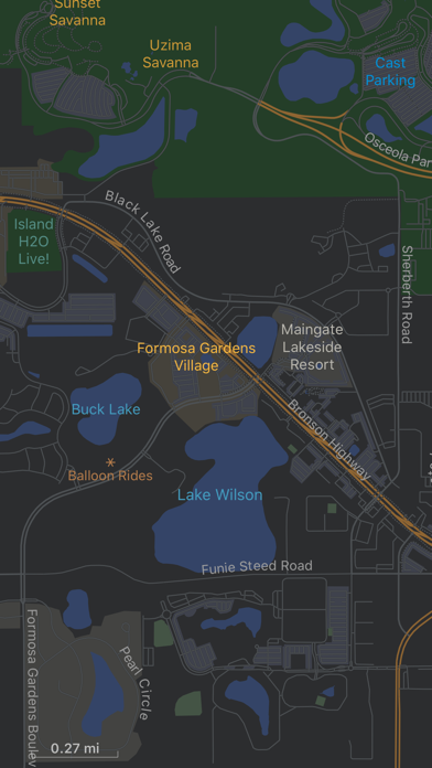
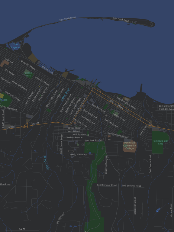
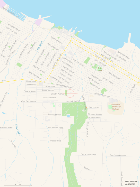
TrailTool supports creating map from within the app from publicly available OpenStreetMap data. So wherever you plan for your next adventure, your map can always be up to date. It does not require wireless connection to work in the field or outdoor.
It respects your privacy, any saved tracks or locations are always stored on device, no data is ever uploaded to the cloud. So your data is safe.
## Main Features
- Record GPS tracks or mark point of interest on screen for trip planning or actual location while in the field
- Create map dataset from OpenStreetMap data (PBF) directly. Support option to use native language (default) or English as place names or labels.
- Support data exchange format: PBF, GeoJSON/JSON and GPX
- Support data sharing via AirDrop or standard iOS share functionality for any data used within the app
For device without GPS (such as iPad without cellular service), the app can be used for trip planning to review map, existing tracks, point of interests etc. Maps, tracks or point of interests from one device can be shared with other devices via AirDrop.
## Map Data
The app comes with one sample map and one sample OpenStreetMap PBF file. For additional data, you can go to OpenStreetMap web site or within app, choose About -> Additional Data…
Hope you’ll find this app useful in your travel or hiking adventure!
Quoi de neuf dans la dernière version ?
This is a major update.
It’s advisable to recreate any existing map datasets to take full advantage of all new features. Previous map datasets are still supported.
- Map creation from OpenStreetMap data is now 2× faster, with richer metadata support including airport runway lengths, golf course hole information, and expanded land use/land cover types.
- Rendering has been significantly improved with a new pan and zoom system that eliminates flickering. Land cover types such as forests, grassland, and wetlands are now rendered more accurately, and the rendering engine has been modernized for better performance.
- UX has been streamlined, and an optional ground distance grid has been added.